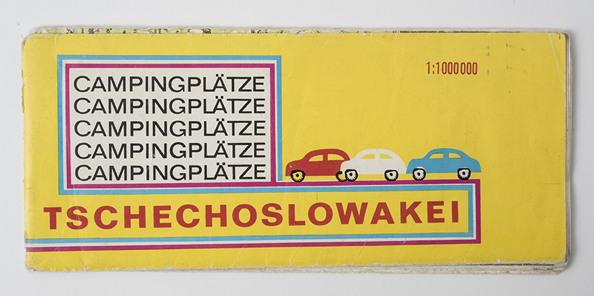
Camping map
camping map contains a directory of the campsites in Czechoslovakia
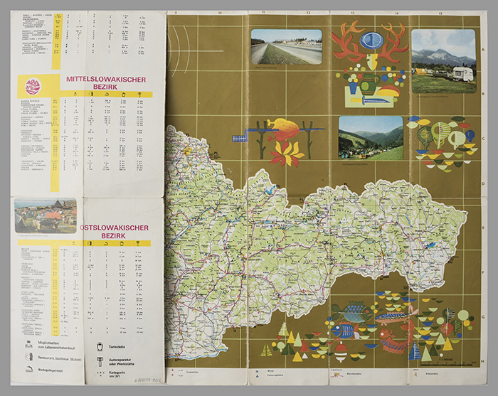
The camping map, with a folded size of 9.0 x 21.0 cm, contains a directory of the campsites in Czechoslovakia. The campsites are listed in tables and shown with additional information, e.g. on restaurants or bathing options. The campsites are also presented with small symbols on the map (1:1.000.000 scale). The map’s artistic design allows it not only to provide information and geographical orientation, but also to become a special travel guide. Colour photographs of some campsites present the atmosphere of the rural surroundings. Colourful forms and stylised illustrations, such as an ensemble of a styled loaf of bread, a knife and a jug, or a spit over a fire, refer to typical activities during a camping holiday, such as picnics and barbecues.
Key data
Tags
- Art
- Camp sites
- Camping holiday
- Cartography
- Czech
- Czechoslovakia
- Excursion
- Holiday
- Holiday destinations
- Leisure
- 70s
- colorful