Hiking map
Hiking maps with colorful covers
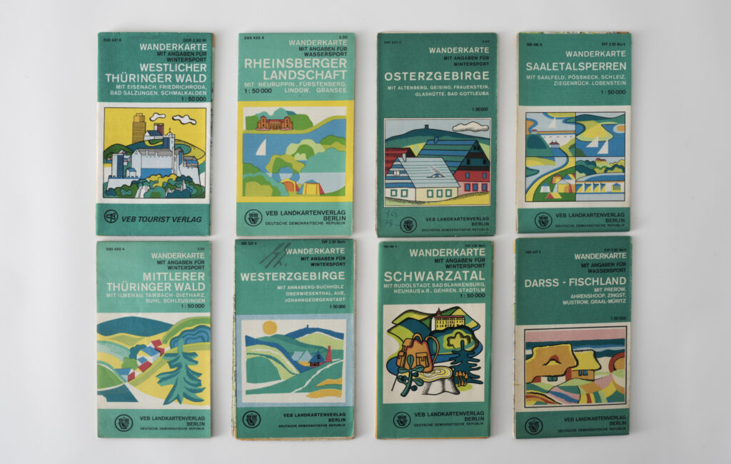
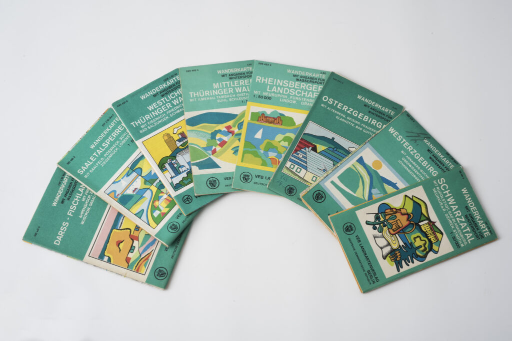
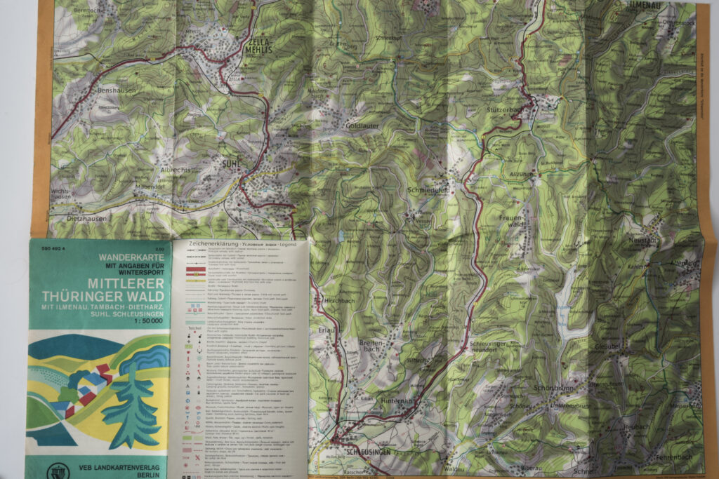
The eight green hiking maps with colourfully designed fronts present the GDR’s popular holiday regions. All maps are produced as 1:50.000 congruent cartography and can be folded to a 21.0 x 12.5 cm format. They include information on the respective regions’ typical landscapes, as well as tips on youth hostels and campsites. Shorter descriptions are provided in English and Russian. The hiking maps are also examples of the GDR’s most important cartographical publisher: the Berlin-based VEB Landkartenverlag existed from 1954 to 1976. The following year, it was merged with the Homeland and Tourist Literature Department of VEB F. A. Brockhaus Verlag Leipzig to become VEB Tourist Verlag Berlin/Leipzig. From then on, it used a new logo, as seen on the map of the western Thuringian Forest.
Key data
Tags
- Cartography
- Family excursion
- Hiking
- Hiking map
- Hiking paths
- Holiday
- Holiday destinations
- Leisure
- Maps
- Navigation
- 60s-70s
- colorful
- green